Contact for the resource
IEO, Malaga Oceanographic Centre
9 record(s)
Type of resources
Categories
Topics
INSPIRE themes
Keywords
Contact for the resource
Provided by
Years
Formats
Status
-
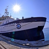
Identification and mapping of habitats. Characterization of benthic communities through the acquisition of underwater images, bathymetric data of the bottom and of the surface structure, and sampling with rock dredge, van veen and shipek. Identificación y cartografía de hábitats. Caracterización de comunidades bentónicas mediante la adquisición de imágenes submarinas, datos batimétricos de la superficie del fondo y de la estructura superficial, y muestreos con draga de roca, van veen y shipek.
-
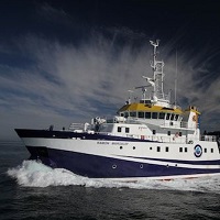
Study of the impact of bottom trawling on bathyal benthic habitats in sedimentary bottoms of the Site of Community Importance "Volcanes de fango del golfo de Cádiz", South Atlantic Demarcation. Identification and mapping of habitats in trawlable and nontrawlable bottoms. Characterization of benthic communities of unexploed areas for completing information of the SCI.
-
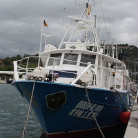
Oceanographic survey collected in the framework of the following research project: INTERCAMBIOS EN EL ESTRECHO DE GIBRALTAR Y SU RESPUESTA A FORZAMIENTOS METEOROLOGICOS Y CLIMATICOS, INGRES (REN03-01608/MAR). This Project is funded by the Education and Science Spanish Ministery.The technical objetive of the mission is to recover and to deploy a mooring system in a monitoring station (Espartel) in the Strait of Gibraltar to estimate the Mediterranean Outflow accurately (ADCP based observations) and the Atlantic Inflow into the Mediterranean Sea, with the help of indirect estimators and incomplete currentmeter data sets
-

Multidisciplinary monitoring of the Spanish Mediterranean waters
-
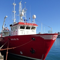
Estudiar la viabilidad así como optimizar, en su caso, un sistema de observación multidisciplinar en el Mediterráneo español, incluyendo la medida de gases de efecto invernadero
-
NDCA
-

Multidisciplinary monitoring of the Spanish Mediterranean waters
-
monitoring water column
-
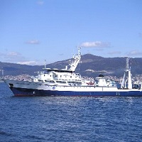
The main goal of the INDEMARES CHICA 0211 oceanographic cruise was to study the associated habitats and the environmental conditions related to areas of the gas seepages in the Gulf of Cadiz. For this, the sampling in different mud volcanos was planned using a various methodology: fishing trawl, beam trawl, box corer, gravity corer, benthic trawling dredge, ADCP, and oceanographic sampling carousel (CTD, ADCP, oximeter, turbidity sensor, fluorimeter).The survey was carried out between the 10th February 2011 and the 7th March 2011 having Cadiz as a base port. The fair-weather remained during the campaign except on the 16th February because of the storm conditions.Mud volcanoes (Albolote, Gazul, Anastasya, Tarsis, Pipoca, Chica, Aveiro, Hesperides and Almazan) were sampled on the top, on the slope and on the adjacent areas of each one with the methodologies before mentioned. So, it was collected the following samplings: 47 benthic trawling dredges, 31 beam trawl, 12 fishing trawl, 40 box corers, 10 gravity corers, 132 CTDs and 84 oceanographic sampling carousel.The preliminary results have confirmed the existence of habitats associated with the gas seepages, and other habitats that are included in the Directive Habitats 2000 and OSPAR, as gorgonian reefs over carbonated hard substrate, coral bamboo fields, Isidella, in muddy seafloor, deep sponge aggregations,and communities of the Pennatulacea and of the burrowing megafauna on soft bottoms.
 Catálogo de datos del IEO